Capabilities
Technical domains, methods, and tools developed at TerraIO
Technical Capabilities
TerraIO sits at the intersection of geotechnical engineering, spatial computing, and applied software development. The capabilities below reflect active research and development areas, if any of these align with a problem you are working on, collaboration is welcome.
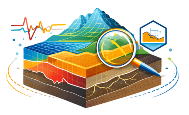
Geotechnical & Terrain Modelling
Generating accurate 3D terrain and subsurface models from LiDAR, point clouds, and survey data. Methods include digital terrain modelling, surface reconstruction, and ground characterisation for stability and excavation analysis.
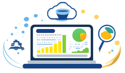
Custom Software & Data Visualisation
Building tailored web and desktop applications that make complex engineering data interpretable and interactive. Focus on high-performance 3D rendering, real-time dashboards, and domain-specific visualisation workflows.
Point Cloud & 3D Data Processing
Processing large-scale LiDAR and photogrammetry datasets into structured engineering outputs. Capability areas include classification, filtering, automated feature extraction, change detection, and volumetric analysis.
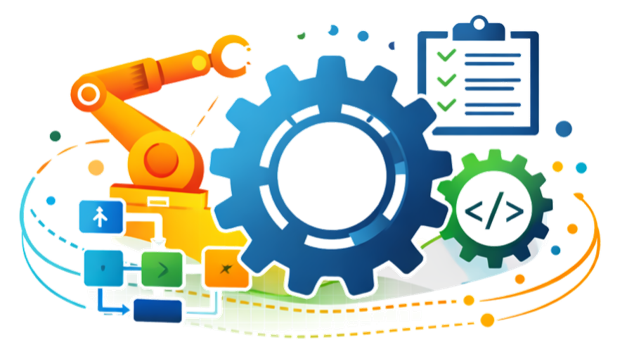
Automation & Engineering Pipelines
Developing automated data processing and analysis pipelines that reduce manual overhead and improve consistency. Includes custom scripting, sensor data integration, and end-to-end workflow automation for geotechnical teams.
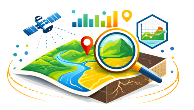
Geospatial & Data-Driven Analysis
Integrating geological, geotechnical, and spatial datasets into unified analytical environments. Methods include GIS-based mapping, multi-source data fusion, and spatial querying for site-scale decision support.
AI, Drone Mapping & Innovation
Applying machine learning, computer vision, and UAV-based acquisition to non-standard geotechnical problems. Current focus includes semantic segmentation of point clouds, automated joint orientation extraction, and drone-based terrain monitoring.
Technical Tools & Technologies
Programming Languages
Frameworks & Libraries
Geospatial & Engineering Software
Current Research Directions
Active areas of development include deep learning applications for geotechnical risk assessment, real-time point cloud streaming for remote collaborative access, and WebGPU techniques for high-performance in-browser data visualisation.
Longer-term interests include integrating IoT sensor data with traditional geotechnical monitoring systems, developing AR tools for field investigation workflows, and advancing AI-based semantic segmentation methods for underground point cloud datasets.